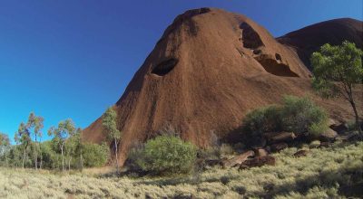
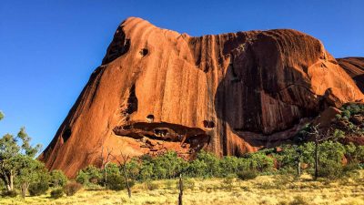
Outside the Sydney Harbour Bridge, Uluru (or Ayer’s Rock as it used to be known) is probably Australia’s most famous landmark and what better way to appreciate its beauty than from a bicycle saddle.
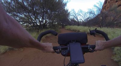
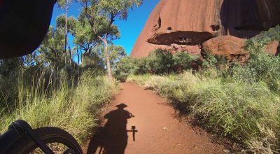
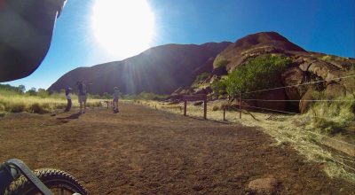
If you are in the ‘red centre’, take the time to experience the significance of this huge slab of sandstone by making the pilgrimage (462 kilometres from Alice Springs) to this sacred site to ride the 10-15km loop around the base of ‘The Rock’. This is a self-guided ride at a pace to allow time to explore the beauty of this unique environment.
Uluru, is a sacred site for the Anangu people, the traditional owners of the land. It holds deep spiritual and cultural significance in their Tjukurpa (creation stories and law). The Anangu have lived in the area for thousands of years, developing a rich culture closely connected to the land. Visitors to Uluru can learn about Anangu culture through guided tours, art centres, and cultural experiences. Traditional dot painting, storytelling, and bush food demonstrations are common cultural activities shared with tourists.
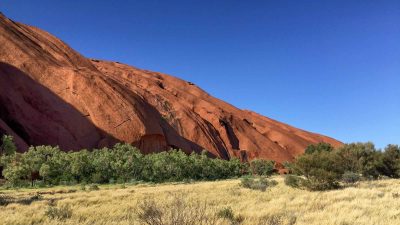
Formed around 550 million years ago, Uluru is composed of arkose, a coarse sandstone rich in feldspar. The rock’s distinctive red coluor comes from surface oxidation of iron-bearing minerals. Tilted nearly 90 degrees from its original horizontal formation, Uluru showcases unique geological features and weathering patterns.
While climbing Uluru was once popular, it is now prohibited out of respect for Anangu beliefs and to protect the site’s environmental and cultural integrity.
Cycling in Australia’s arid, red heartland provides a peaceful solitude with time to stop and enjoy the historic rock art and wondrous waterholes. It is a time to observe and connect with this sacred landscape in the heart of our stunning.
There are about five different points where you can ride this shared walking trail, all of them easily accessible from the roads around the park.
It doesn’t matter either the direction but I would suggest getting in early to try and beat the busloads of visitors that descend about 9:30 am. You can also ride in either direction.
Unless it is very hot, the one bottle of water should be enough but remember to wear a broad-brimmed had over your helmet and apply sunscreen.
Trail Summary
- Name: Uluru Base Walk
- Region: Northern Territory
- Start: Kuniya Carpark
- Finish: Kuniya Carpark
- Length: 10-12km
- Time: 1-2 hours allowing time to enjoy the sights
- Type: Loop
- Difficulty: Easy
- Suitable for: Off-road, touring or mountain bikes
- Terrain: Generally flat but with a few “bumps”
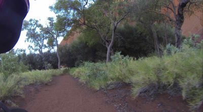
- Surface: Gravel and compacted earth, some loose sandy sections
- Hazards: Take care in sections where the track uses park roads.
- Signage: The main route is well signposted, as are the attractions along the way
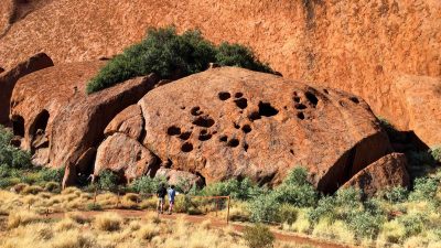
- Points of Interest: The rock of course, but also take time to read the information panels that describe the significant parts of the rock
- Best Times: All year round
- Facilities: The are no facilities on the loop and you are advised to take plenty of water




Leave A Comment