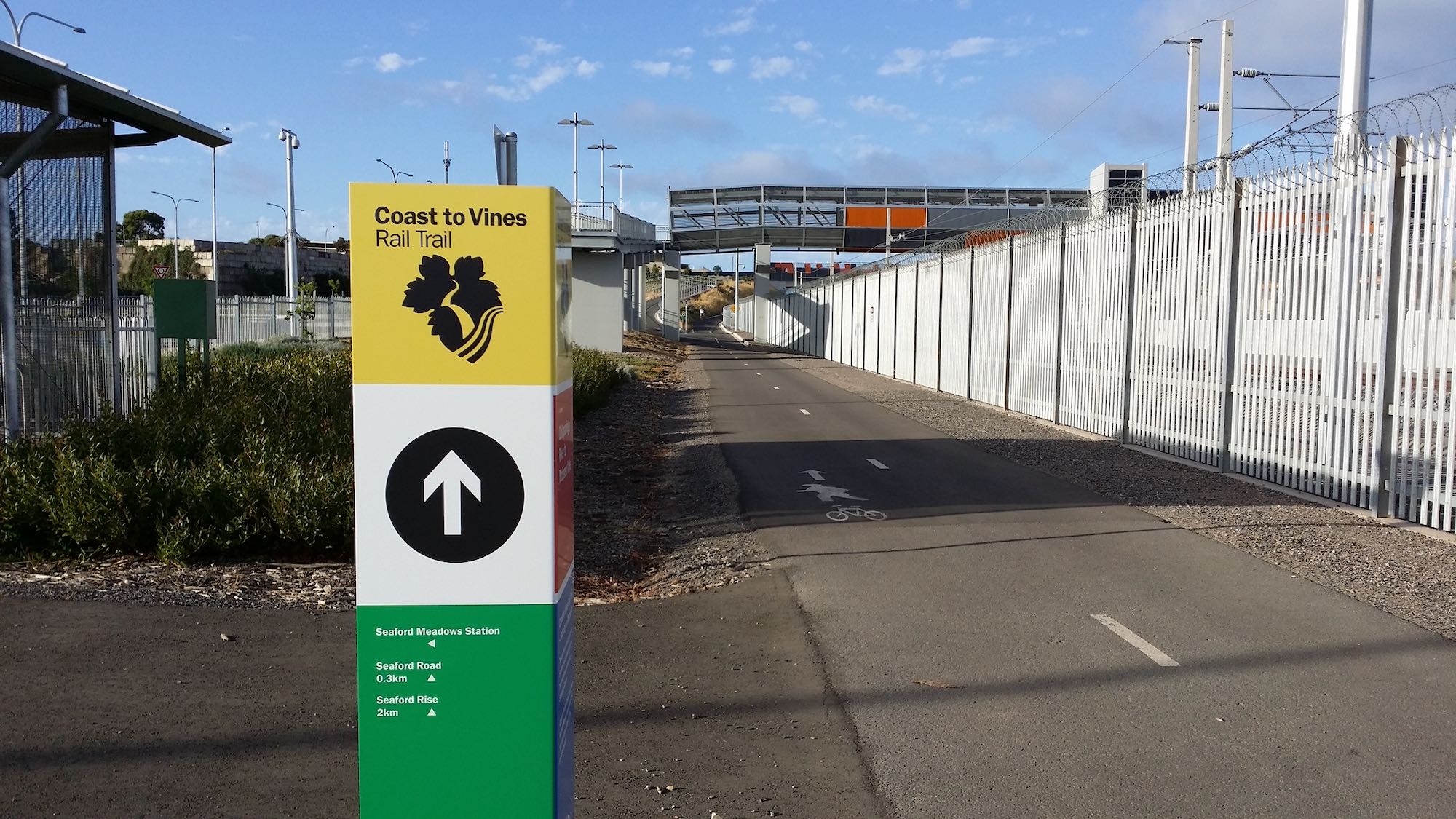
Coast to Vines Rail Trail
Where ocean views meet vineyard vistas
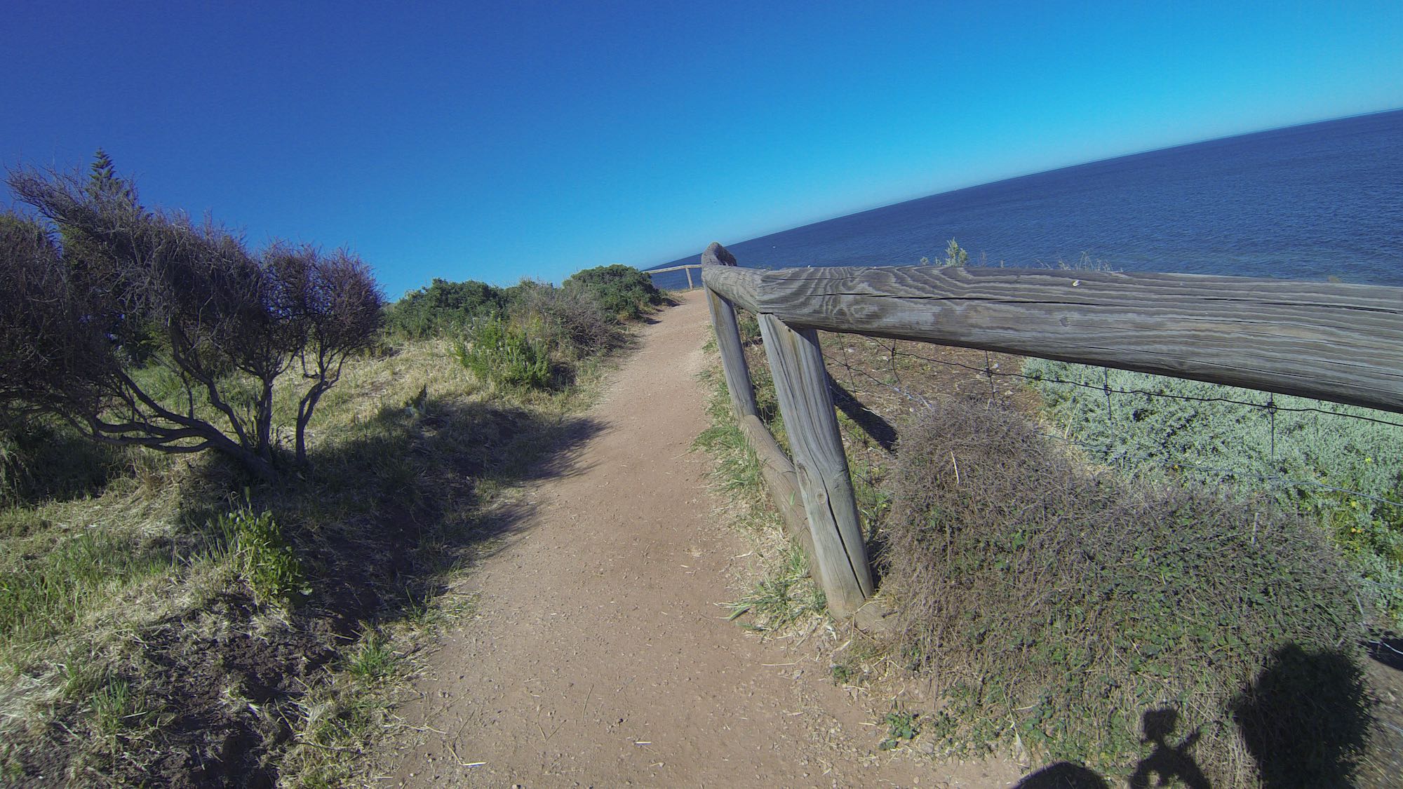
The Coast to Vines Rail Trail is one of Adelaide’s most scenic cycling routes, stretching 33 kilometres from Marino Rocks to the heart of McLaren Vale.
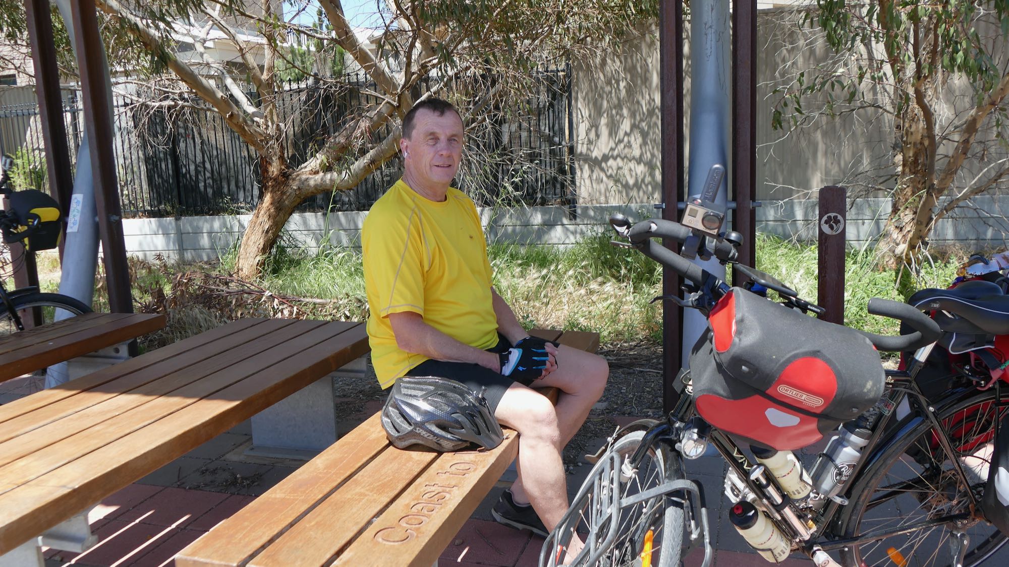
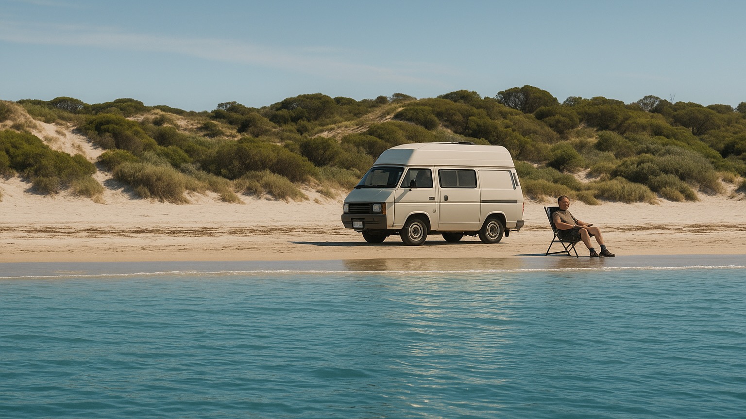
As a cycling enthusiast living near Adelaide, I’ve found this rail trail offers an incredible blend of coastal views, vineyard vistas, and natural landscapes. It is one that I have ridden on four different occasions, on my own. with another and as a group.
Starting the journey
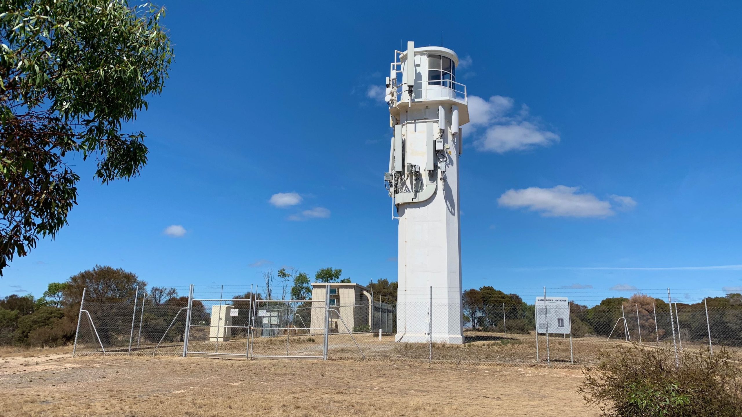
My preferred starting point is Hallett Cove Railway Station, where convenient facilities make it an ideal launching spot. The initial section from Marino Rocks, while picturesque, includes some challenging undulations that might not suit all riders. This is where I feel the pain. As a 60 something, it is not exactly my cup of tea. Walk it if you must, but once at the top, the ride is exhilarating.
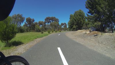
The trail between Hallett Cove and Old Reynella presents some interesting challenges. This 7-kilometre stretch deviates from the original rail track, creating a more adventurous ride. I particularly enjoy stopping at Old Reynella, where two bike-friendly cafes offer perfect rest stops before continuing the journey.
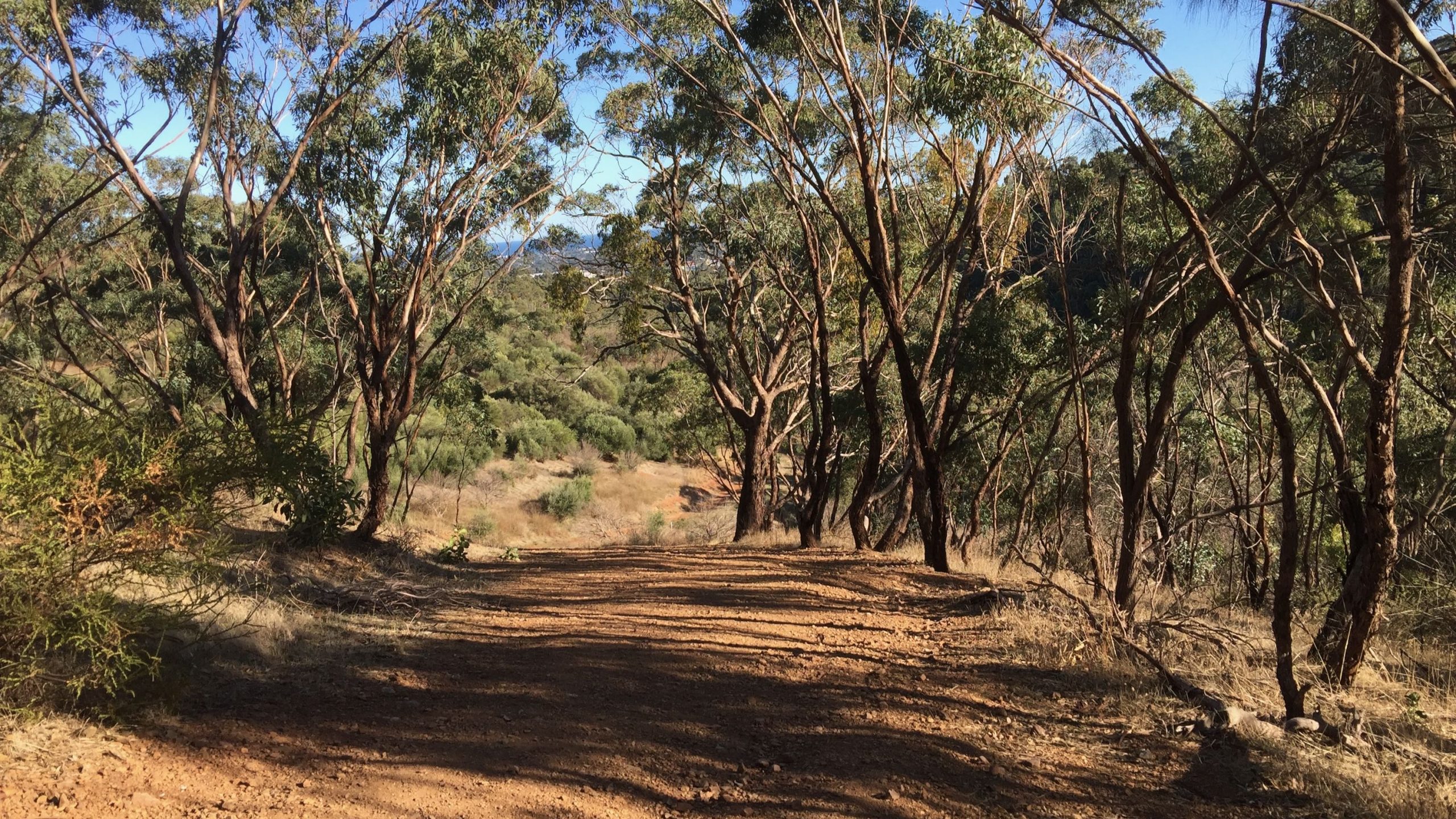
Natural wonders
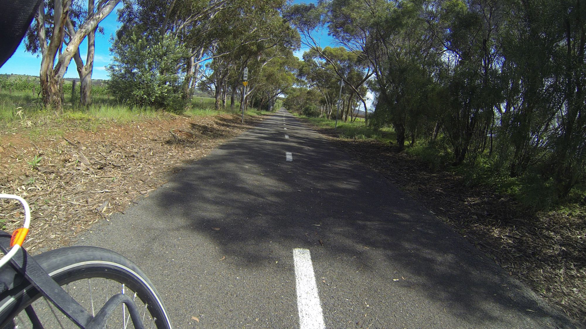
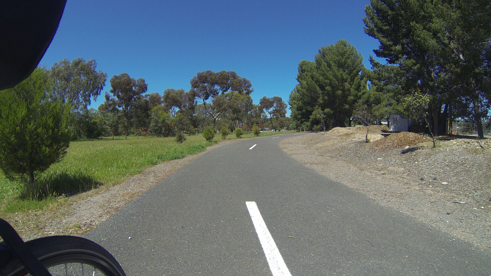
The section past Old Reynella rewards riders with a magnificent 12-kilometre descent toward the Onkaparinga River. During late winter, the trail comes alive with almond blossoms near Honeypot Road, creating a stunning seasonal display.
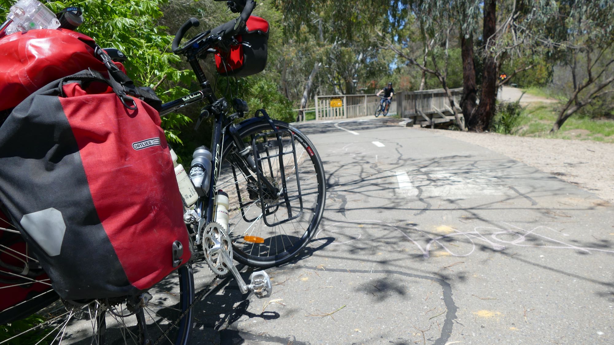
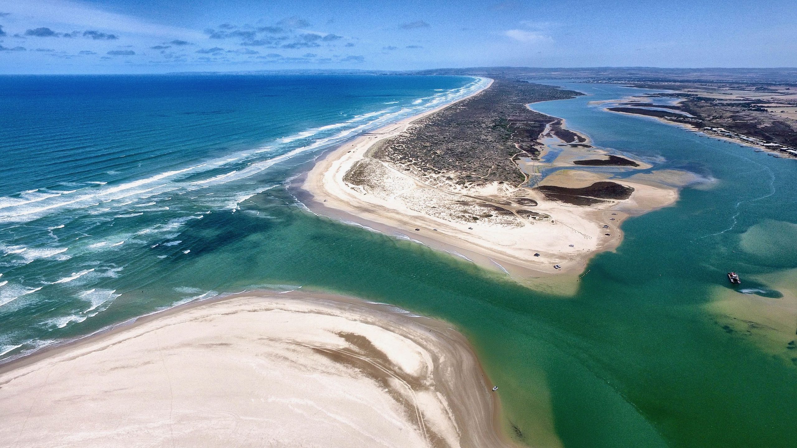
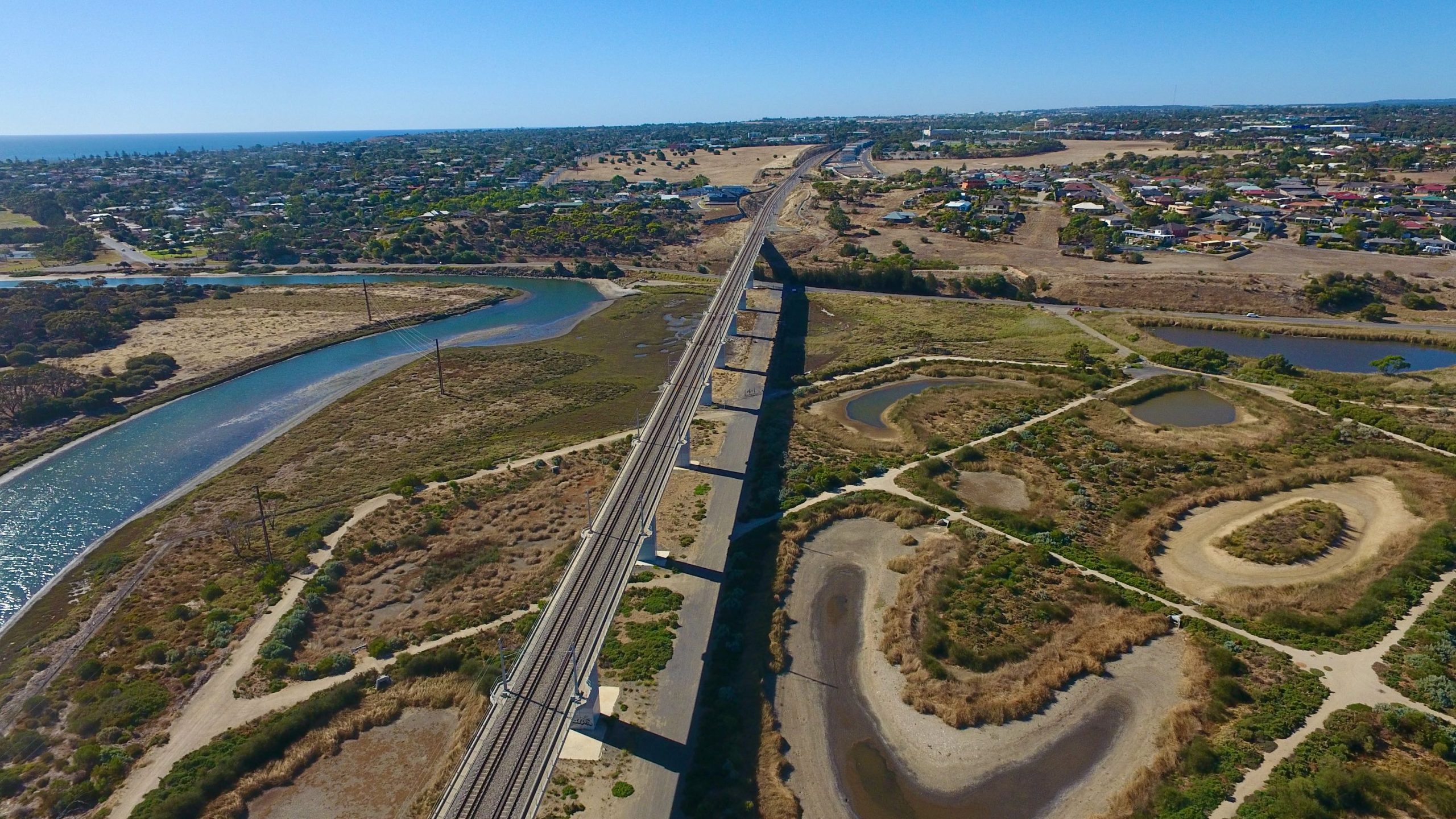
One of my favourite features is the bridge crossing the Onkaparinga River. The wetlands surrounding this area provide excellent opportunities for wildlife spotting, with kangaroos often seen in the early morning or late afternoon. The Onkaparinga wetlands create a peaceful transition between urban and rural landscapes.
Vineyard country
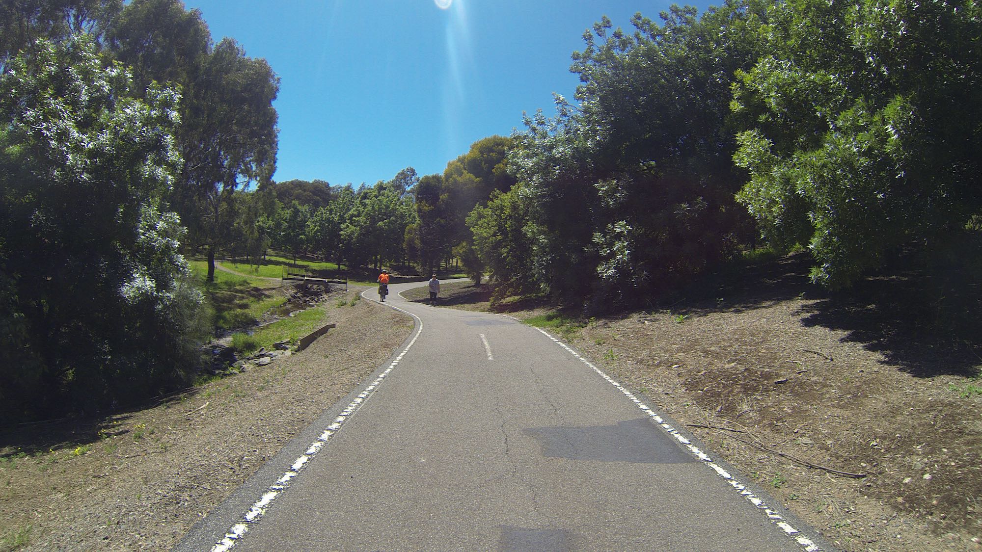
As the rail trail approaches McLaren Vale, the scenery transforms into a patchwork of vineyards. The final stretch includes lovely green, shady cuttings that provide welcome relief on warm days. These vineyards change their appearance throughout the seasons, from lush green in summer to brilliant reds and yellows in autumn.
The Coast to Vines Rail Trail boasts an excellent bitumen surface, making it suitable for year-round cycling. My typical ride covers around 45 kilometres with aside excurions and meandering. The trail includes several convenient access points, with regular train services available at Seaford Railway Station for the return journey.
Conclusion
The Coast to Vines Rail Trail combines the best elements of South Australian landscapes – from coastal views to wine country vistas. Whether riding the full length or choosing shorter sections, this rail trail offers an exceptional cycling experience for riders of various abilities. The combination of natural beauty, well-maintained infrastructure, and convenient access points makes it one of my most frequently recommended rides in the region.
Frequently Asked Questions
-
- DCIM101GOPRO


My partner and I rode this trail recently and did find the part near darlington a challenge but after that, wow, what a ride. It is certainly worth the effort. And on the return journeying coming down into Darlington, wind in the hair baby!
Another great ride, thanks for sharing.