Goyder’s Line runs roughly east-west across northern South Australia where to the north, with an average annual rainfall of less than 10 inches (250 mm) per annum, rainfall is generally too low to support cropping and grazing being the recommended farming option.
In determining the path of the line, Goyder was guided by the appearance and growth of saltbush and other edible vegetation. To the south of this distinct line, the vegetation is composed mainly of mallee scrub, while to the north, saltbush predominates.
Drawn in 1865, during a period of particularly harsh rough, Goyder’s one was viewed with skepticism, but over time it has been shown to provide a generally reasonable indication of where cropping should stop and grazing start.
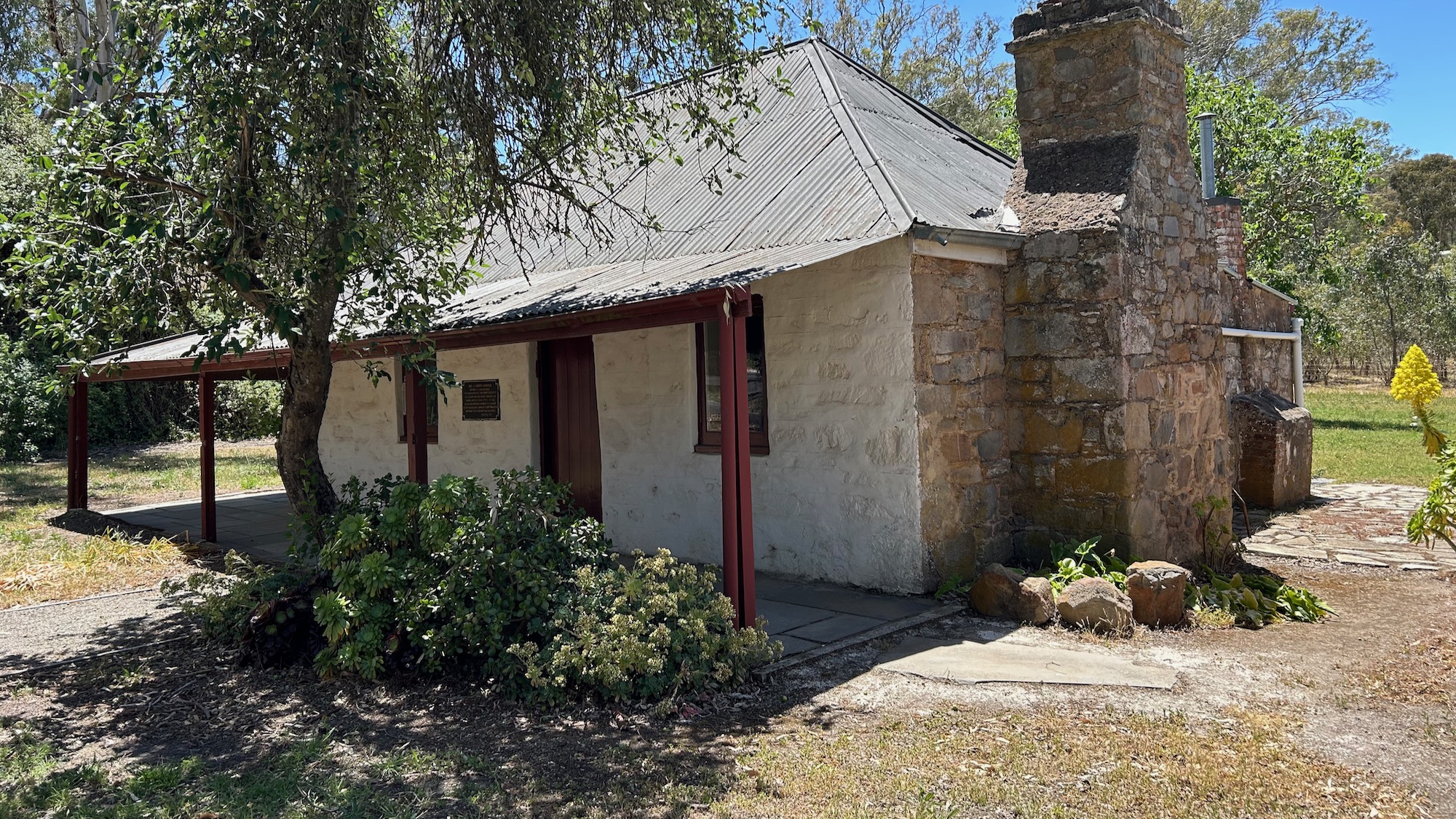
A historical marker is a few metres west of Horrocks Highway just a couple of kilometres north of Melrose (main image above).
Plan a break into your journey and take the short excursion off the main highway to ponder the work involved to make the line a reality.
Oh yes, and in case you go looking, the line is imaginary, you won’t see it painted across the landscape.


Leave A Comment