Located in the South-Western corner of New South Wales, Mungo National Park is an area of international significance for its cultural, archeological and natural beauty. It is also a great place to ride a bicycle.
 Commencing at the old woolshed near the Visitor Centre inside the park entrance, you need to be riding in an anti-clockwise direction to comply with 90% of the route being one-way in this direction.
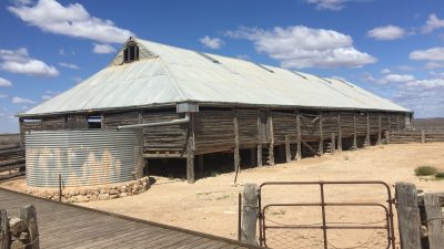
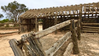
However, before heading out, take a few minutes to have a look at the woolshed constructed from locally hand-cut Cypress Pine in 1869. It is not a true pine, but rather a native tree that once grew profusely in the region and well recognised by early European settlers for its resistance to termite consumption. Some posts here have had new footings added but generally, it is in remarkable condition for a 150-year-old building.
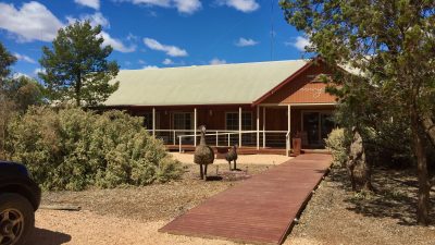
- Mungo Visitor Centre
- THe Woolshed
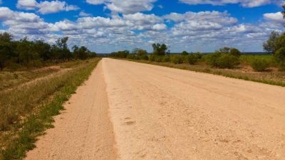
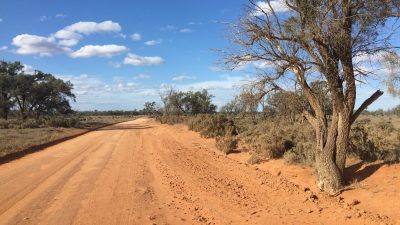
- The road heading out
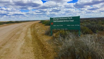
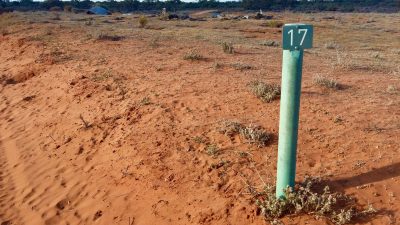
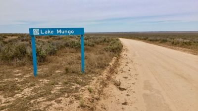
- Park signage is wonderful
The sight-seeing completed, follow the wide gravel road that leads out into the dry lake bed from the woolshed to the ‘Walls Lookout’. This is well signposted and without any other roads to lead you astray, the turnoff to your right after about 8km is very obvious.
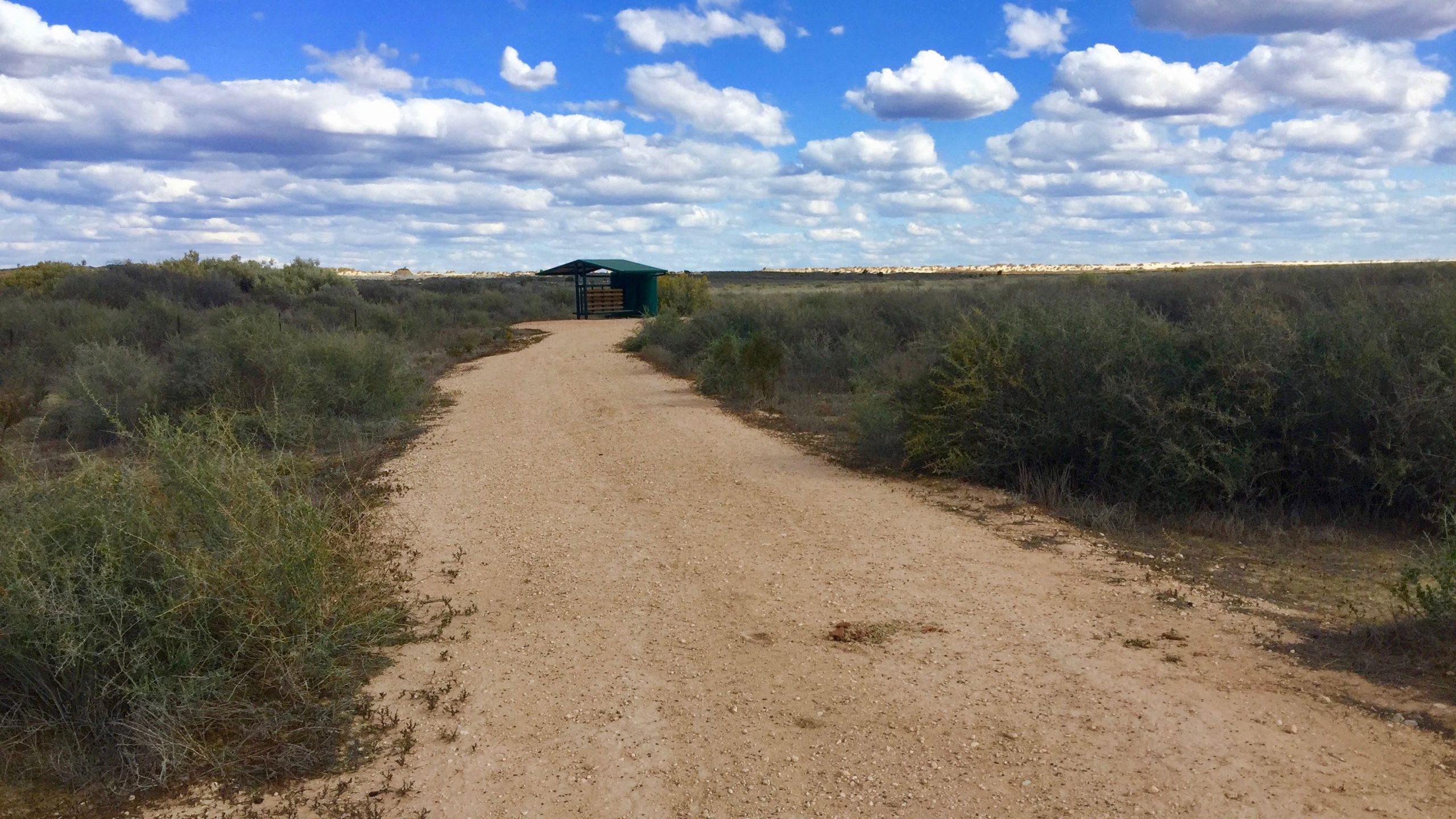
Again, this broad gravel road is well marked and the with vegetation beginning to include saltbush, you pass a recently erected shelter and empty water tank off to the right of the trail. You will now find yourself coming to the only real hill on the ride, one that which will take you up to the viewing platform that has been creatively called the ‘Bones of Silence’.
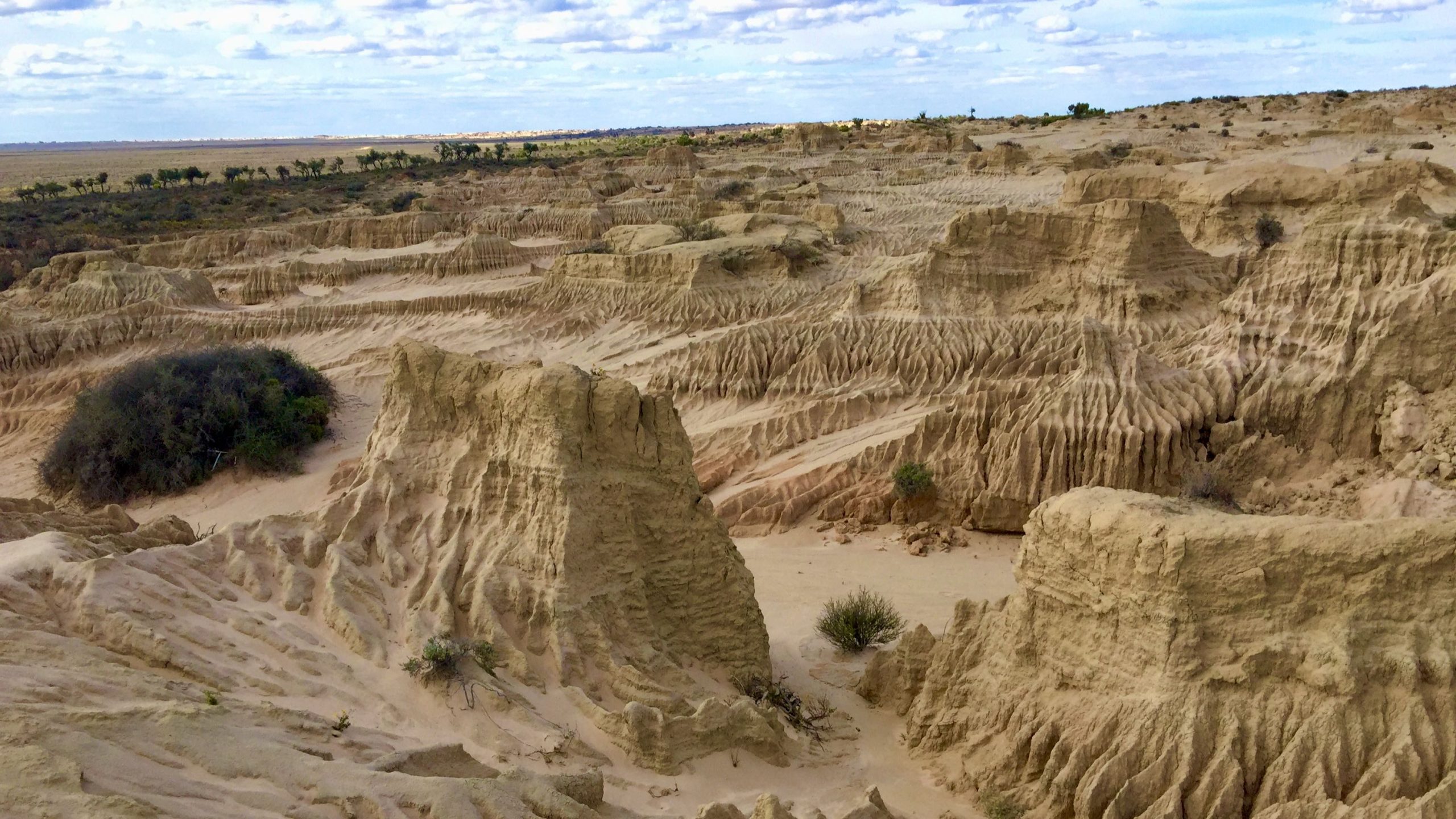
The ‘bones’ are in fact the heavy stones, bones and campfire remnants that are being exposed as the wind and (occasional) water runoff is sculpturing them into these amazing gullies.
As you stand to admire the view, try to imagine the lake being full of water and this viewing platform as prime real estate. You are transported back to the edge of a wide lake shore some 40,000 years ago when massive mammals roamed the area, the local inhabitants fished and campfires burned to cook fresh mussels at a time when the last ice age was in decline.
This imagining is one of the great aspects of the ride and with the wealth of historical and geographical information that is available along the route, you will undoubtedly find your mind wandering more than once over the next couple of days. With this thought in mind, I would really recommend referring to the route notes you collected in Mildura and that you stop at each marker post to soak up the history the can almost be felt lingering in the surrounding bushes.
Welcome to time travel.
- The stunning scenery continues
- Another historical marker
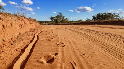
- At times the sand is very deep
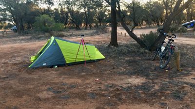
- Over night at Belah Camp
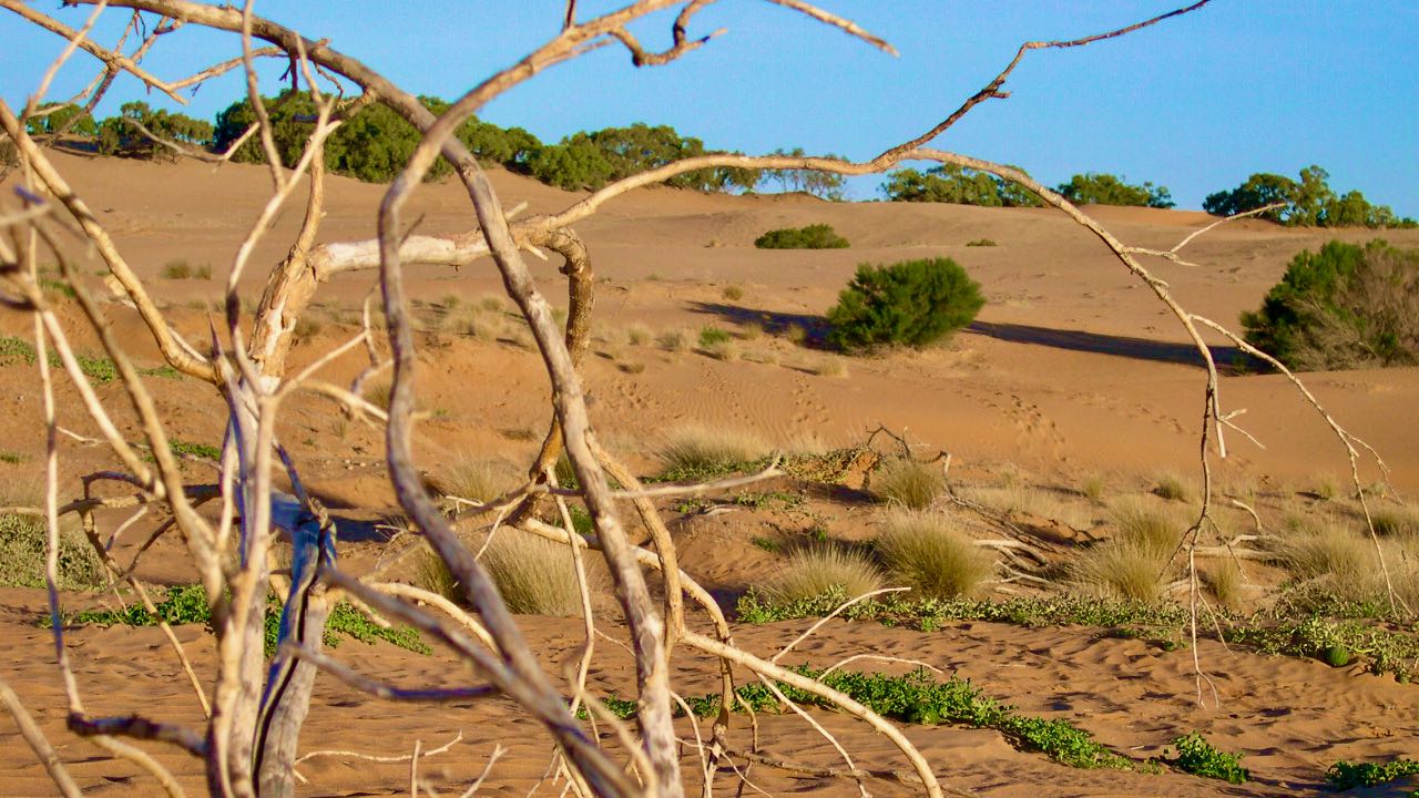
Until this point, the ride has been relatively easy over a very flat surface and on a good road, but as you ride on, with that ancient ice-age still blowing gently at your back and your eyes peeled for any mega-fauna that may stray onto the road, the terrain changes as you enter a zone where the sands of the lunette and mallee tree communities converge.
The easy riding is behind you, and until about four kilometres before Belah Camp where the sandy sections get longer, the road surface alternates between short periods of rough compacted gravel and deep soft sand.
With the mallee and tussocks of Porcupine Grass becoming more common on the side of the track, you put the first 27 kilometres behind you and the turn-off to Belah Camp appears on your right.
If you have the energy and time (about 4 hours) to return to the Woolshed, you could continue on, but staying a night here will give you some time to explore and replenish your energy reserves for the final half that is a slightly tougher ride than the first.
Belah Camp has plenty of shaded areas to erect your tent, there are toilets and tables but although there is tank water here, it is not suitable for drinking.
Open fires are also prohibited so hopefully your brought your fuel stove for that long-awaited hot meal.
Rising the early next morning, you head out of camp and onto the last 30 kilometres but almost immediately, the road becomes a repetition of long sandy bogs with only short intermissions of hard, ridable track.
This pattern continues for about five kilometres after the camp until finally the sand diminishes to short annoyances and you are able to ride more freely on firmer surfaces strewn with large rocks.
Isn’t this fun?
Take care when you come to where the road forks, take the right-hand option as the left will take to a dead-end ride to Vigars Well.
From here to where the road drops steeply down onto the lake bed, the road is much the same, a mixture of good riding and sand traps that try to twist the front wheel at any opportunity.
These really are persistent little traps for the unwary (or day-dreamer).
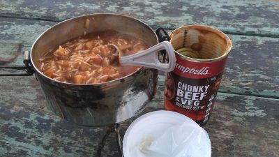
- Chunky beef and rice dinner, very welcome after a long day
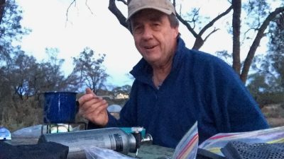
- It’s getting dark but a hot meals sort out my hunger
- The old Zanci Homestead
- Down on to the old lake bed and heading back to the Information centre
A short but welcome race down the escarpment puts you onto several kilometres of flat, good riding and then, with a couple of ridges to cover, the road rises off the lake and the old Zanci Homestead where the early pastoralists built a dugout offers a chance to dismount and rest those aching calf muscles.
Past the old out-buildings, the last three kilometres is over a generally a good surface and as you round a corner in the road, the Mungo Information Centre comes into view and the loop is behind you.
Congratulations, you can now say that you have ridden around Lake Mungo, a route only taken by the occasional motorist!
If you are looking for a day ride, consider the Lake Bed Loop that also provides a memorial introduction to the Mungo Lake environment.
Trail Summary
- Name: Lake Mungo Loop
- Region: Mungo National Park
- Start: The Old Woolshed near the Visitor Centre
- Finish: The Old Woolshed near the Visitor Centre
- Length: 57km
- Time: 2 half days (1 overnight)
- Type: Loop
- Difficulty: Difficult
- Suitable for: Mountain bikes and those of at least average fitness
- Terrain: Generally flat with only one short, steep climb
- Surface: Gravel, packed earth and a lot of deep sand
- Signage: Well sign-posted including interpretive boards
- Hazards: Sand and 4X4s
- Facilities: None along the trail or at Belah Camp, take plenty, enough for two days full riding
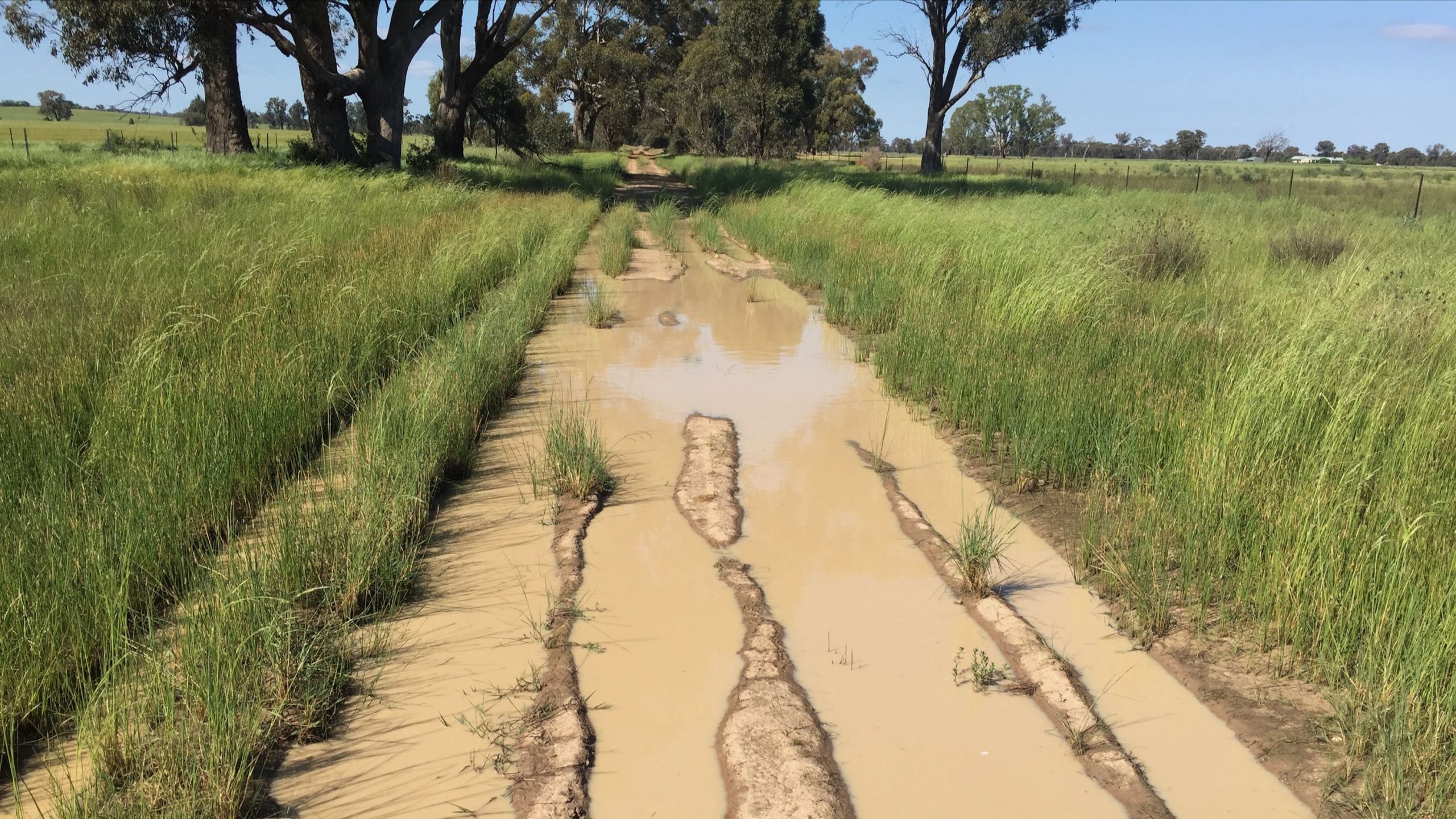
- Best Times: Autumn and Spring. The track is closed after rain and summer heat will fry you!
- Maps: Make sure that you collect maps and supporting brochures from the Mildura Visitor Centre at 180-190 Deakin Ave before heading out to Mungo. This information will make your visit much richer and the map will help you sort out the various trail options.



Hi mate.
I did this ride in 2016. At the time I was surprised at the lack information about cycling this loop which led me to believe not many people do. Which is a shame for them. I found it amazing, educational and an all time great experience (except the drive back to Mildura, but that’s another story!). Thanks for putting this up, it’s great to see someone else’s thoughts.